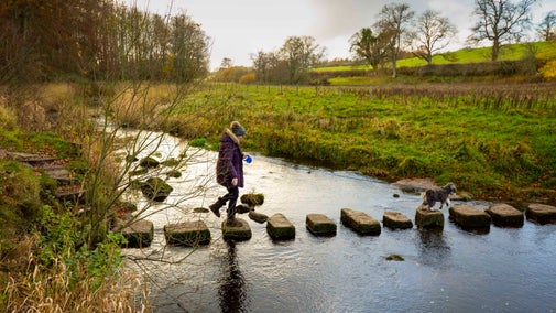
A Mottistone meander: south to the sea
On this easy walking trail, you'll explore the farmed countryside stretching south from Mottistone Gardens to the coastal cliffs at Sudmoor Point. Along the way, enjoy sea views and the chance to encounter rare wildlife.
Total steps: 6
Total steps: 6
Start point
Mottistone Gardens National Trust car park, grid ref: SZ405838
Step 1
Take the path down the steps from the car park towards the entrance to Mottistone Gardens. Cross the road, enter the churchyard by the lych gate. Leave by the south gate, turn right into Ridget Lane and follow it for 80yds (75m).

Step 2
Turn right along the track signposted BS74 towards Mottistone Manor Farm, but take the stile on the left just before the farm yard to continue along BS74. When the track opens out just after a pond, bear left and follow the boundary keeping the trees to the left.
Step 3
Turn right at the T-junction where a hedgerow crosses. Bear left before the trees, keeping the wood and a small stream on the right. At the end of the wood, the path bears right over a plank bridge and stile. Follow the meandering path across the meadow. Cross the stile at the end of the field by a fingerpost and turn left through a farm gate onto the Military Road.
Step 4
Turn right at this road and walk along the right-hand verge. Just after passing two cottages, cross the road and go over a stile opposite onto a permissive path. The path crosses a wooden footbridge then follows the field edge with hedges on the left to reach a stile almost in the corner of the field. Cross the stile and the next field, keeping close to the fence on the left until reaching the cliffs.
Step 5
Turn left onto the coast path. Follow the cliff-top path, passing through a kissing gate near an eroded section of cliff with a few steps on the far side, and continue onwards.
Step 6
At the sign marked “Public Footpath” go through the kissing gate on the left and follow the field edge with the fence on the left to the field corner. Go through another kissing gate then cross the busy Military Road to join the byway BS100. This is a hedge-lined farm track which leads straight back to Mottistone. At the top of this track bear right and then left past the church to reach the road and the entrance to the car park.

End point
Mottistone Gardens National Trust car park, grid ref: SZ405838
Trail map

More near here

A climb to the common at Mottistone
The views from the heather-covered Mottistone Common are the highlight of this walk, which also takes in a mysterious ancient monument.
Get in touch
Mottistone, near Brighstone, Isle of Wight, PO30 4ED
Our partners

We’ve partnered with Cotswold Outdoor to help everyone make the most of their time outdoors in the places we care for.
You might also be interested in
Mottistone Gardens and Estate South to the Sea walk GPX file
Right-click and 'Save Link As' or ‘Save Target As’ or ‘Download Linked File As’ (depending on your browser) to download this A Mottistone Meander South to the Sea walk GPX file to your device, then open with your GPS program.

Walking
Explore some of the finest landscapes in our care on coastal paths, accessible trails, woodland walks and everything in between. Find the best places to walk near you.

Cotswold Outdoor: our exclusive walking partner
Find out more about the National Trust’s ongoing partnership with Cotswold Outdoor as our exclusive walking partner.

Staying safe at National Trust places
The special places in National Trust care sometimes come with a few risks for visitors, be it coastline or countryside. Find out how to keep safe throughout your visits.

Follow the Countryside Code
Help to look after National Trust places by observing a few simple guidelines during your visit and following the Countryside Code.

Walking on the Isle of Wight
From discovering dinosaur fossils on a walk at Compton Bay and Downs to the secluded creeks and waterways of Newtown National Nature Reserve, find out where to go for the best walks on the Isle of Wight.
