Dinas Island circular walk
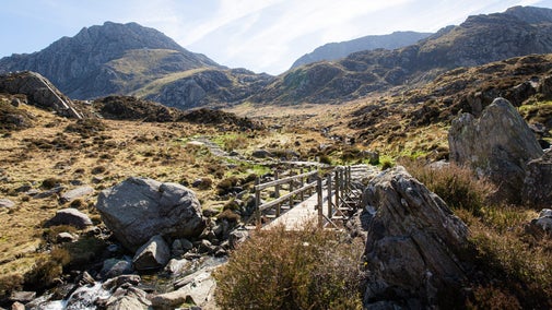
A circular walk with steep ascent and descent gives you some of the finest views anywhere on the Pembrokeshire coast. This isn’t a long walk, but definitely one to test your fitness, with plenty of reasons to stop and admire the scenery.
Total steps: 10
Total steps: 10
Start point
Pwllgwaelod car park, grid ref: SN005398
Step 1
From Pwllgwaelod Beach, turn right uphill following coast path signs. At the cattle grid, turn left through a kissing gate.
Step 2
The path soon begins to climb sharply and includes 40 steps. You'll pass through heather and gorse on either side. After a stiff climb you'll reach a stile and the path becomes easier. Your reward is fine views across Fishguard Bay.
Step 3
The path soon becomes steep again and as you round a corner, you'll see the highest point of Dinas Island, Pen-y-Fan, ahead. Newport comes into view on your right.
Step 4
Pause at the Ordnance Survey triangulation pillar (OS trig point) to take a well-earned rest and enjoy the views north to the cliffs at Pen-yr-Afr and inland to the Preseli Hills.
Step 5
It's mostly downhill from here, but steep. Follow the path downhill. Around 55yds (50m) beyond a kissing gate the path divides. The main coast path plunges away to your left – you can see it snaking round the coast. If this looks too exciting you can follow a broad path along the fence to your right. The two paths reunite further on.
Step 6
Around half a mile (0.75km) after the paths split, look out for Needle Rock below you. Seabirds, including guillemots, breed here in early summer.
Step 7
The bay at Cwm-yr-Eglwys comes into view. Go through the kissing gate, which leads to a shady section of the path, but take care: it is rocky with tree roots.
Step 8
A timber footbridge leads onto the road. Follow this down to Cwm-yr-Eglwys and past the toilets on your right.
Step 9
Follow the path along the right hand side of boatyard, signposted ‘Pwllgwaelod 2/3 mile’, and walk straight ahead through the car park and alongside some caravans on your right. You’ll see the footpath by a solid wood panel fence in the far right-hand corner.
Step 10
Walk back to Pwllgwaelod through the valley along a tarmac path. With the rise in sea levels, Dinas Island could well be a real island again one day.
End point
Pwllgwaelod car park, grid ref: SN005398
Trail map

More near here

Garn Fawr viewpoint walk
Follow the Garn Fawr viewpoint walk in Wales to marvel at the North Pembrokeshire coastal views and visit an Iron Age fort that became a World War One lookout point.
Get in touch
Strumble Head, Pencaer to Cardigan, Pembrokeshire, SA62
Our partners

We’ve partnered with Cotswold Outdoor to help everyone make the most of their time outdoors in the places we care for.
You might also be interested in

Walking in Wales
Explore wide open landscapes, gentler coastal strolls or energetic hikes for something a little more challenging. We've rounded up some of the best places to walk in Wales.

Cotswold Outdoor: our exclusive walking partner
Learn about the National Trust’s ongoing partnership with Cotswold Outdoor. Find out how they help us care for precious places and the exclusive discount available for National Trust supporters.

Staying safe at National Trust places
The special places in National Trust care sometimes come with a few risks for visitors, be it coastline or countryside. Find out how to keep safe throughout your visits.

Follow the Countryside Code
Help to look after National Trust places by observing a few simple guidelines during your visit and following the Countryside Code.

Discover the geology of Strumble Head to Cardigan
Shaped by nature over millions of years the landscape from Strumble Head to Cardigan is rocky and remote.

Coastal walks in Wales
Discover the best walks along the Welsh coast, taking in picturesque peninsulas, rugged headlands, quaint hamlets, prehistoric monuments and outstanding wildlife.

Top tips for coastal walks
Get safety tips for walking by the coast, including the essential clothing and equipment to take with you and what to do before you set out.

Walking
Explore some of the finest landscapes in our care on coastal paths, accessible trails, woodland walks and everything in between. Find the best places to walk near you.