Skip to content
News

Bodbury Ring hillfort discovered to be six times larger than originally thought

Volunteers on Bodbury Hill in Shropshire
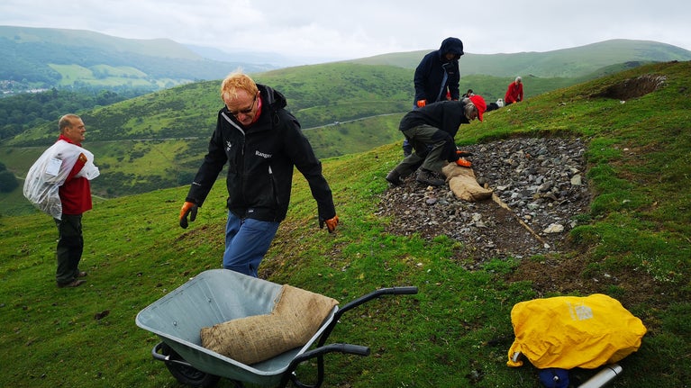
Repairing erosion damage on Bodbury Ring | © Patrick Edwards

A remarkable discovery has been made at one of Shropshire’s well-known Iron Age Hillforts by archaeologists from Time Team and the Universities of Chester and York.

Thanks to funding from the Our Upland Commons project, light detection and ranging data (LIDAR) sensors, mounted on aircraft, has produced hi-resolution laser-scan data, which shows that Bodbury Ring Hillfort, on the north side of the Carding Mill Valley near Church Stretton, was six times larger than was originally thought.

The investigations, led by Time Team’s landscape archaeologist, and University of Chester Visiting Professor, Stewart Ainsworth, were part of a collaboration with the Universities of Chester and York, and Stepping Stones – a National Trust-led conservation project in the Shropshire Hills which aims to reconnect isolated patches of wildlife habitat by restoring a network of hedgerows, verges, woodland and wetlands.

Analysis of the data shows that the earthworks of Bodbury Ring are only a small part of a much larger hillfort which once enclosed the entire ridgetop of Bodbury Hill. This larger hillfort shares some characteristics with examples known to have originated in the Late Bronze Age.

The Burway and Bodbury Hill at Carding Mill Valley and the Long Mynd, Shropshire
The Burway and Bodbury Hill at Carding Mill Valley and the Long Mynd, Shropshire | © National Trust Images/PJ Howsam

Janine Young, National Trust Archaeologist said: “The new remote-sensing information provides a powerful portal for digital exploration of the Long Mynd. Using just a small sample area for research we have broken new ground in the understanding of the Iron Age in this region – without disturbing a single turf in the ground.”

Professor Ainsworth said: “The earthworks of Bodbury Ring, it seems, were constructed to form a small, more easily defended fort at the southern tip of the original hillfort, possibly in the Middle Iron Age. This prehistoric ‘downsizing’ may have resulted from increased tension in the region, reflecting possible changes in the geopolitical landscape of the times. Close by, on the northern side of Bodbury Hill, the remains of a probable Roman Iron Age enclosed settlement have also been identified for the first time.”

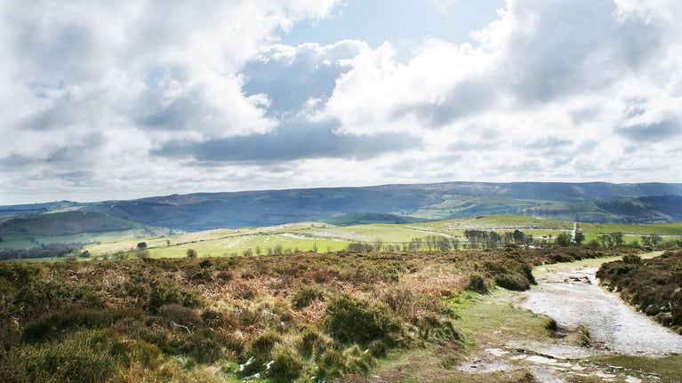
Stepping Stones project area winter Shropshire

Stepping Stones

Stepping Stones is a nature conservation programme covering over 200km² in the Shropshire Hills. It is creating more, bigger and better spaces for wildlife, and linking them with wildlife ‘corridors’. This means working with farmers, landowners, community groups and volunteers to create and connect heathland, flower-rich grassland, woodland and wetland. The project is led by the National Trust but involves a number of partners, including The Wildlife Trusts, Natural England and Shropshire Hills National Landscape.