Skip to content
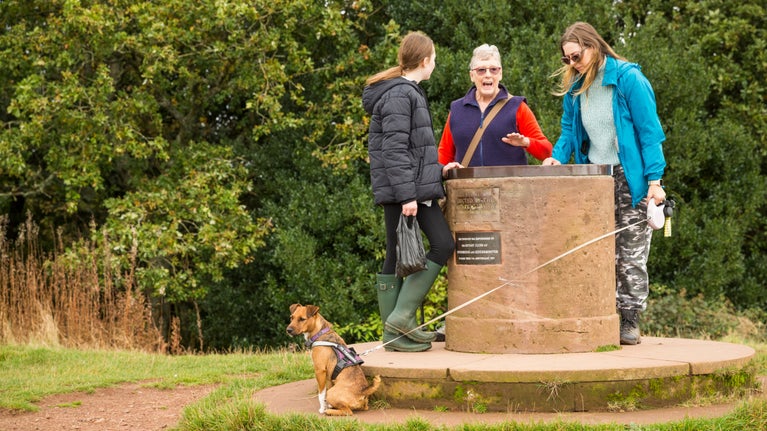
A family of visitors with their dog standing around the Toposcope, a cylindrical stone table, at Clent Hills
Visitors by the Toposcope at Clent Hills | © National Trust Images / James Dobson
Worcestershire & Herefordshire

Walking Trails at Clent Hills | The Buzzard Trail

The shortest of our four new waymarked trails, the Buzzard Trail takes you past Clent’s Four Stones, through woodland and offers fantastic views across the region. This trail takes 1 hour and is 2.2 miles. Please be aware that, although this is the easiest of our new trails, both the footpaths and terrain on this walk can be uneven.

Total steps: 6

Total steps: 6

Start point

Start on the pathway behind the main map board at Nimmings Wood car park.

Step 1

Head up the hill on the path towards the wooden Clent Hills archway.

Step 2

Take the right hand path up the bridleway until you get to the next split in the path and bear left.

Step 3

Follow the path up to the top of the hill in front on the TOPOSCOPE, here turn right and head downhill following a footpath through a bit of open grassland before heading in to woodland.

Step 4

Follow the way-markers to the next junction, then turn left and follow the path back up the hill.

Step 5

At the end of this path, turn left and head towards the FIVE WAYS Scots Pine plantation.

Step 6

Here turn right, keep the Scots Pine plantation on your right and head towards the LOG PILE.

End point

After the LOG PILE turn left and continue up the hill, following the way markers back to the EASY ACCESS path which will lead you back to your starting point.

Trail map

The Buzzard Trail map
The Buzzard Trail map | © Clent Hills

You made it

Share your experience

Get in touch

Nimmings Wood car park, Hagley Wood Lane, near Romsley, Worcestershire, B62 0NL